


The customer is Riyadh municipality – the general department of urban planning and the project objective is to transform the existing GIS into Open source GIS and to automate twenty one processes in the department utilizing Penta-b readymade products PinPack and Open source GIS.
The project is managed through the general department of urban planning and entitles all the sub-departments and the GIS department and IT department in order to transform the existing GIS infrastructure into Open source GIS and to automate twenty one processes in the department daily mandated processes.

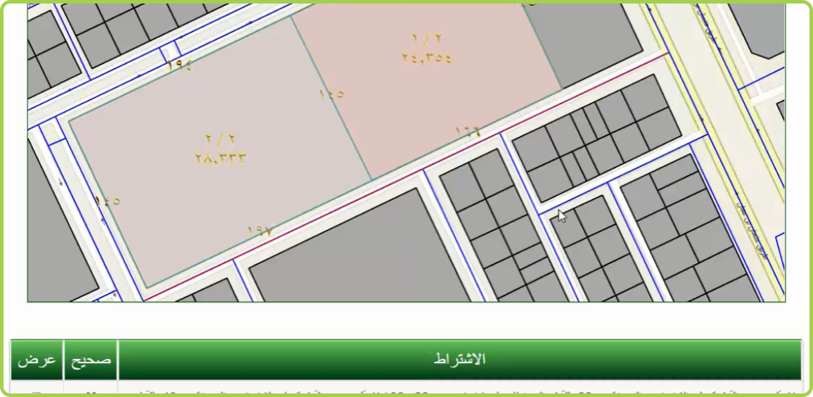
The project entitles the implementation of dynamic work flow engine based application in order to automate
the issuance of certificates of urban planning processes for the different transactions of plans and lands
splitting, merging and landuse changes and also integrates Riyadh sub-municipalities in the processes of
lands splitting and merging permits along with integration with the surveying department to automate the
surveying certificate issuing using the dynamic workflow engine and PinCollector.
The project also provides municipal level mapping explorer using PinHub and provides aggregated GIS
dashboard to the senior management using PinBoard. The project also entitles another module for the dynamic
building of printing layouts and reports to real-time adjust and determine the prints content and look and
feel.
The project importance comes from the large scale level of engagements and being the first enterprise open
source GIS project in KSA.
• Automated processes for twenty one transactional workflows.
• Lower time of delivery and simplified processes to the citizens.
• Informative reporting and decision making tools to the senior management in the municipality.
• Automating field related activities through the department of survey and integrating the survey activities
and the sub municipalities’ activities directly into the centralized GIS.
• Less effort in the GIS data production activities due to the automation of planning department; all the
approved transactions directly update the live geo-database.


