


New Capital Egypt Company The project includes GIS for the CCC and the City Operation Center for Maintenance
This project comes to establish and build geographic information systems in the new capital company in all
its departments with the aim of help decision-making in the CCC and with a view to operating the city in
terms of operation and maintenance. The project includes the following:
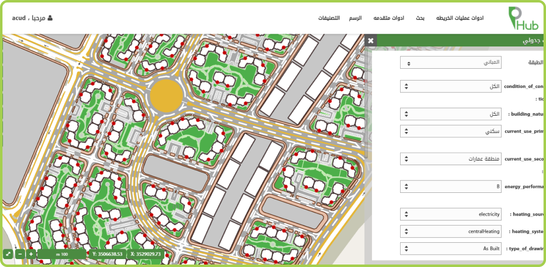
- Establishing a Department of Geographic Information Systems from geographical databases and publishing
maps and GIS desktop applications
- Supply of desktop licenses for mapping and data production using open source geographic information
systems.
- Create a standard for geographic database templates and set a mechanism for data collection and data
surveying .
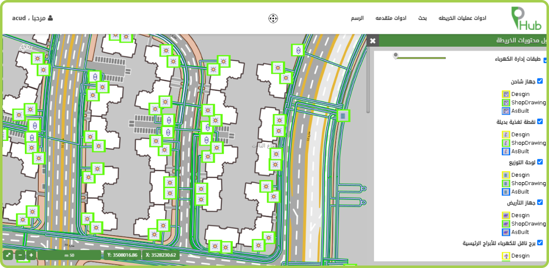
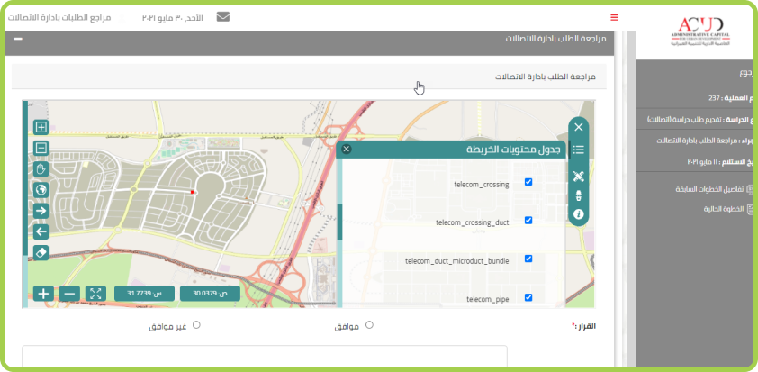
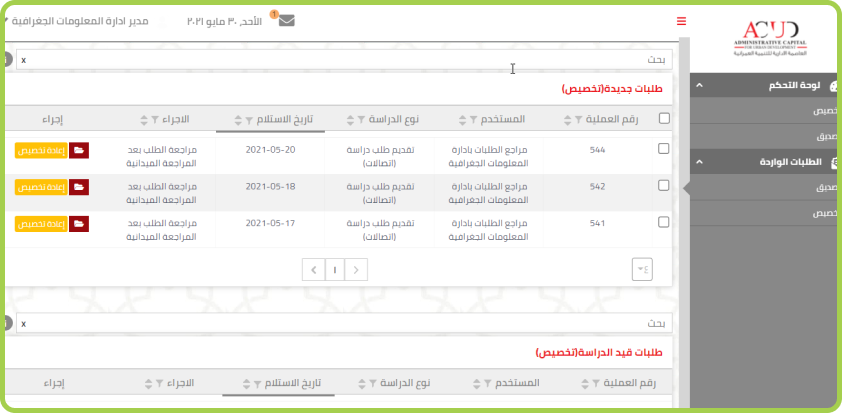
- Created a centralized system work in decentralized way through the Enterprise GIS Portal web
- Create a smart system that integrates with the sensors in the capital to support operation and
maintenance.
- Archive data with the BIG Data database
- Linking with the CAD system located in CCC to support decision-making.
- The project based on open source geographic information systems and on Penta-b ECO system PinPack
products.
• The entire project is based on open source technology and Penta-B applications and is the basis for all
new capital applications and systems.
• The first smart system to integrate with large BIG Data sensors and databases.
• Integration with global systems.
• Linking many current and future departments and systems through one system.


